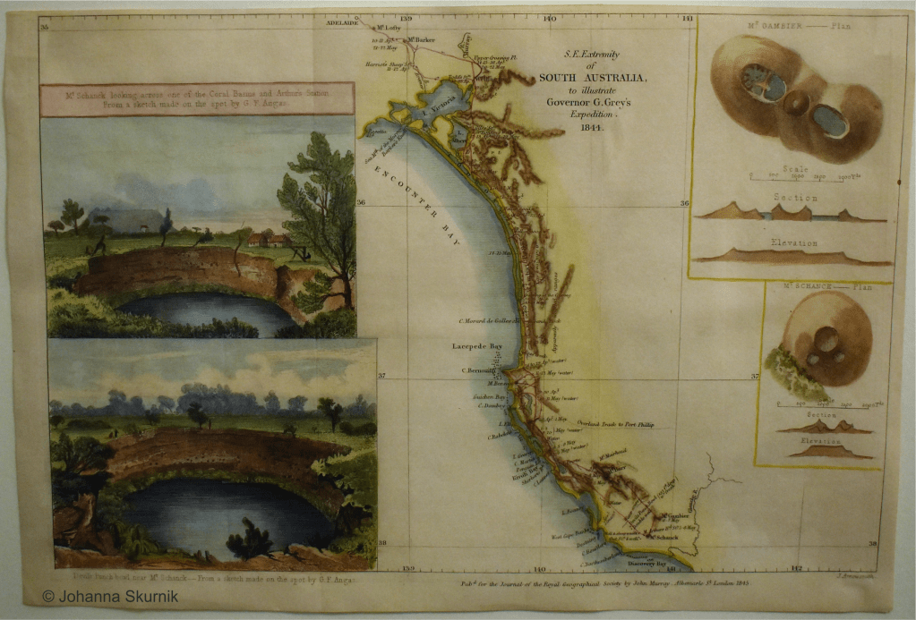
The Arrowsmith firm, based in London, was one of the best known, most prolific, and widely trusted producers of maps of Britain and its Empire in the first half of the nineteenth century. In this project I examine how geographical knowledge of the Empire was obtained, manufactured, and disseminated by the firm, and how its business practices intersected with imperial and colonial governance. It seeks to enhance our appreciation of how the British Empire was represented, understood, and conditioned through metropolitan map-making, and how that activity affected colonial knowledge and governance. The core work for the project was undertaken at the University of Sussex in 2019-2020 with the funding of the Osk. Huttunen Foundation and the Emil Aaltonen Foundation.
Publications resulting from this project:
Skurnik, Johanna: “Authorizing geographical knowledge: John Arrowsmith, mapmaking and the mid nineteenth-century British Empire”. Journal of Historical Geography, Volume 69, July 2020, pages 18-31.