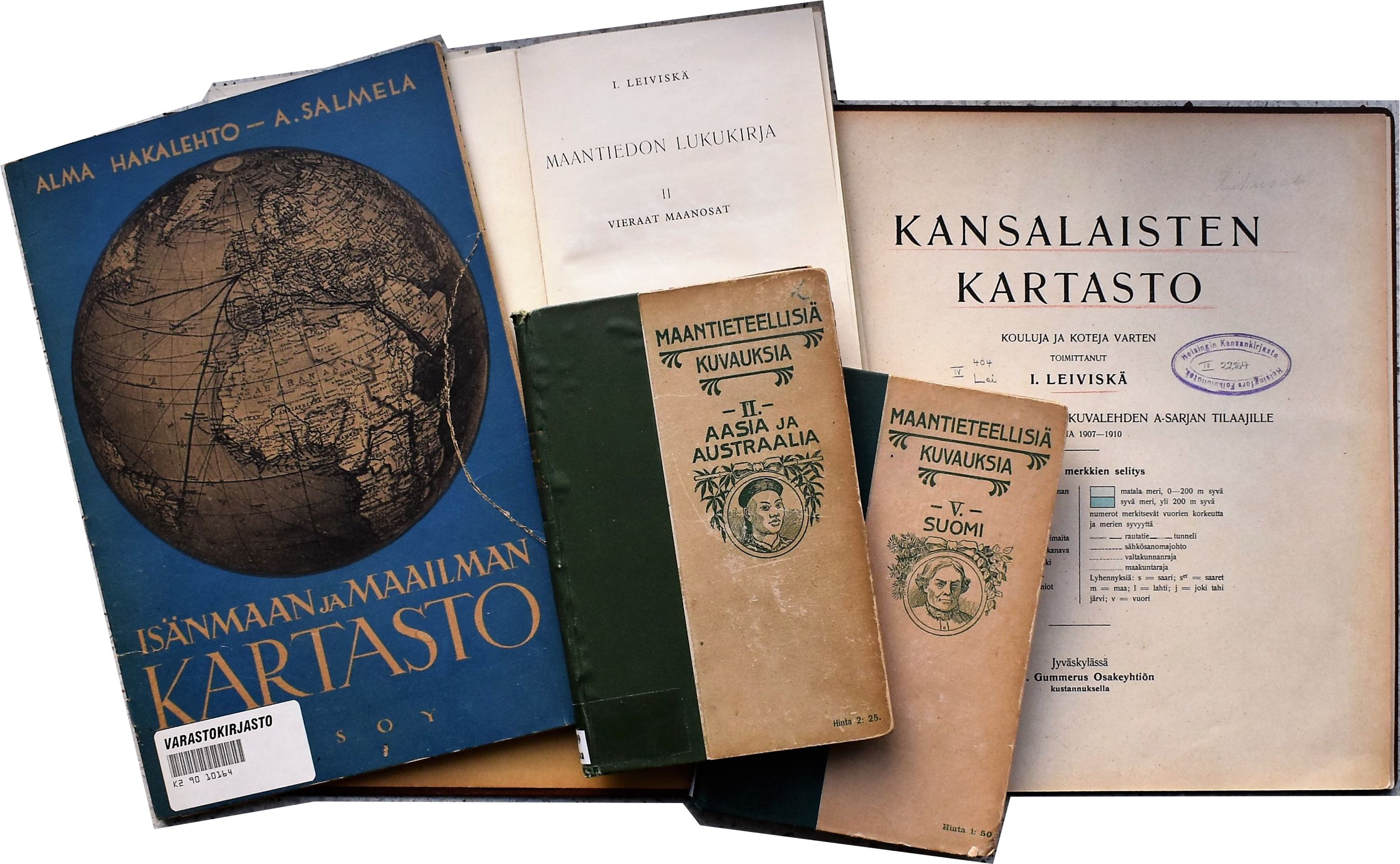
This project, funded by the Academy of Finland for 2020-2023 is concerned with the transformation of the material culture of geographical knowledge in Finnish society, especially concerning areas outside Europe during the 19th and early 20th century. My study is motivated by the broad question of “How did Finns know the world beyond Europe through maps, globes and geographical texts?”. I address it through a series of case studies that produce knowledge of the changes that occurred in the production and reach of Finnish commercial geographical products (maps, globes, books, educational boards). Furthermore, my intention is to analyse peoples’ relationships with these materials in specific social contexts (eg. schools, homes, bookstores, missionary stations).
You can read a short introduction of the project in Finnish here (blog of the History unit at the University of Helsinki).
Publications emerging from this project:
Skurnik, Johanna. “Claims for Space: Unpacking Finnish Geohistorical Imaginations of the United States.” In Finnish Settler Colonialism in North America: Rethinking Finnish Experiences in Transnational Spaces, edited by Rani-Henrik Andersson and Janne Lahti, 21–44. AHEAD: Advanced Studies in the Humanities and Social Sciences. Helsinki: Helsinki University Press, 2022. DOI: https://doi.org/10.33134/AHEAD-2-2.
Skurnik, Johanna: Kartat liikkeessä, Ennen ja nyt: historian tietosanomat, 1/2022, 62-69.
Skurnik, Johanna: Encountering colonial worlds through missionary maps in the late nineteenth-century Grand Duchy of Finland, in Raita Merivirta, Leila Koivunen & Timo Särkkä (eds.) Finnish Colonial Encounters. From Anti-Imperialism to Cultural Colonialism and Complicity (Palgrave Macmillan, 2021).